MARMARIS GUIDE
Best Beaches and Bays Around Marmaris: The Complete Guide to Driving, Boat Trips and Access
Last updated: 19 October 2026
Share this guide
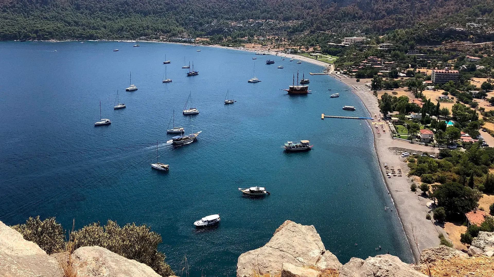
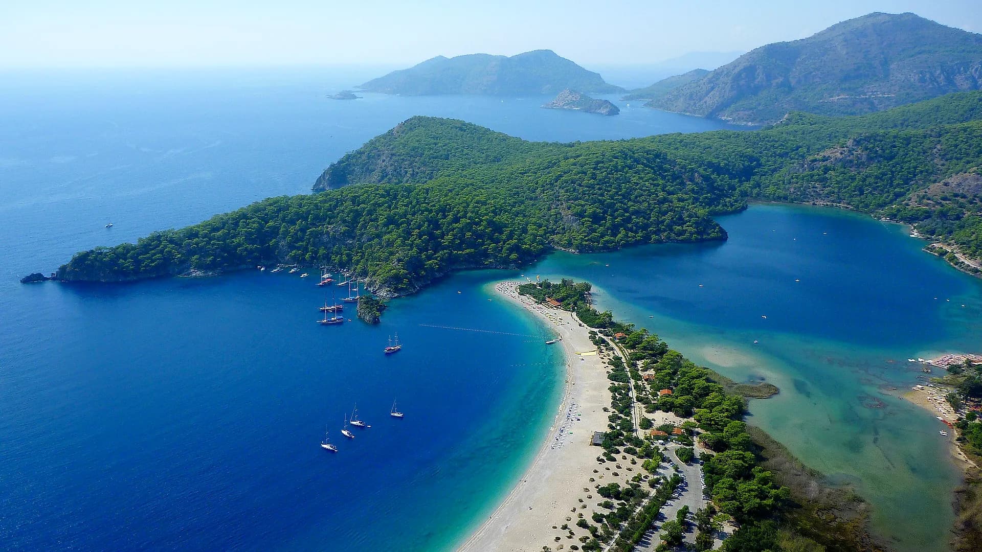
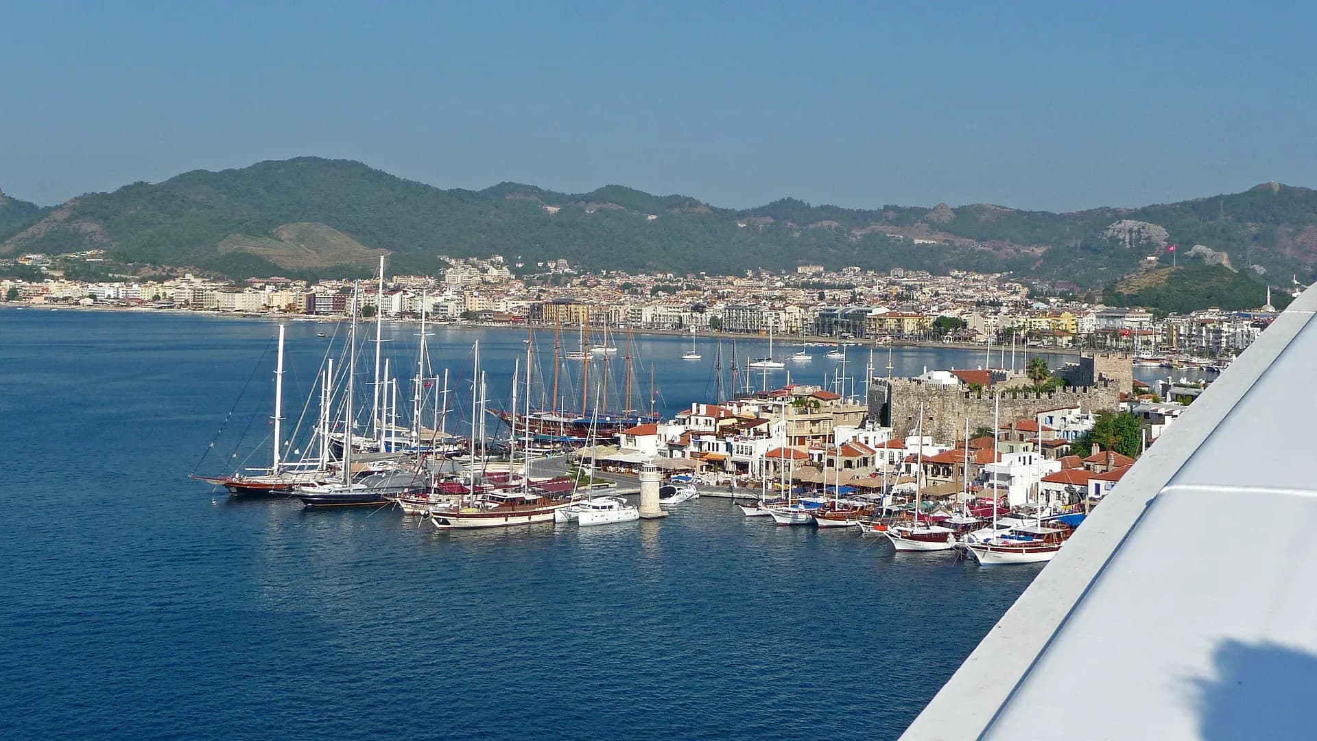
Discover the best places to swim around Marmaris: from beaches close to the centre to quiet bays reached by car or by boat. We have put each place's distance, access, surface and who it suits into short cards, and the map buttons on the cards take you to the right spot.
Which Beach Suits You?
Pick what you are looking for and tap a name to jump to its card. The suggestions rest on published sources; sea conditions change with the weather, the wind and the season, so watch children closely everywhere.
Families with children
Close to the centre
Quiet bays
Sandy beaches
Snorkelling and diving
Exploring by car
Near to Far: Distances and Access
Distances and times are approximate: they are driving figures from the centre of Marmaris, one way; we give the lowest and highest value of two routing services. Summer traffic, winding roads, parking and walking times are not included.
| Place | Distance | Time | Access |
|---|---|---|---|
| Public Beach, Uzunyalı | 3–4 km | 6–12 min | On foot |
| İçmeler | 10 km | 16–25 min | By car |
| Hisarönü | 22 km | 23–28 min | By car |
| Turunç | 22 km | 34–50 min | By car |
| Çamlı İncekum | 25–26 km | 38–49 min | Car + shuttle |
| Amos | 26 km | 41–59 min | Car + walk |
| Kumlubük | 28 km | 44–63 min | By car |
| Kızkumu | 28 km | 29–36 min | By car |
| Akyaka | 32 km | 33–36 min | By car |
| Çiftlik Bay | 35 km* | 60 min* | By car |
| Selimiye | 45 km | 45–63 min | By car |
| Bozburun | 53 km | 52–75 min | By car |
| Söğüt | 57 km | 54–84 min | By car |
| Datça (Kumluk) | 73 km | 61–64 min | By car |
| Palamutbükü | 91–92 km | 92–108 min | By car |
* For Çiftlik Bay we give the approximate figures from our sources (about 35 km, about one hour). There is no road to Sedir Island: you go by boat from Çamlı or Akyaka. For far places such as Datça (Kumluk) and Palamutbükü, allow for the distance there and back and the daily limit of 300 km.
The Best Beaches and Bays Around Marmaris
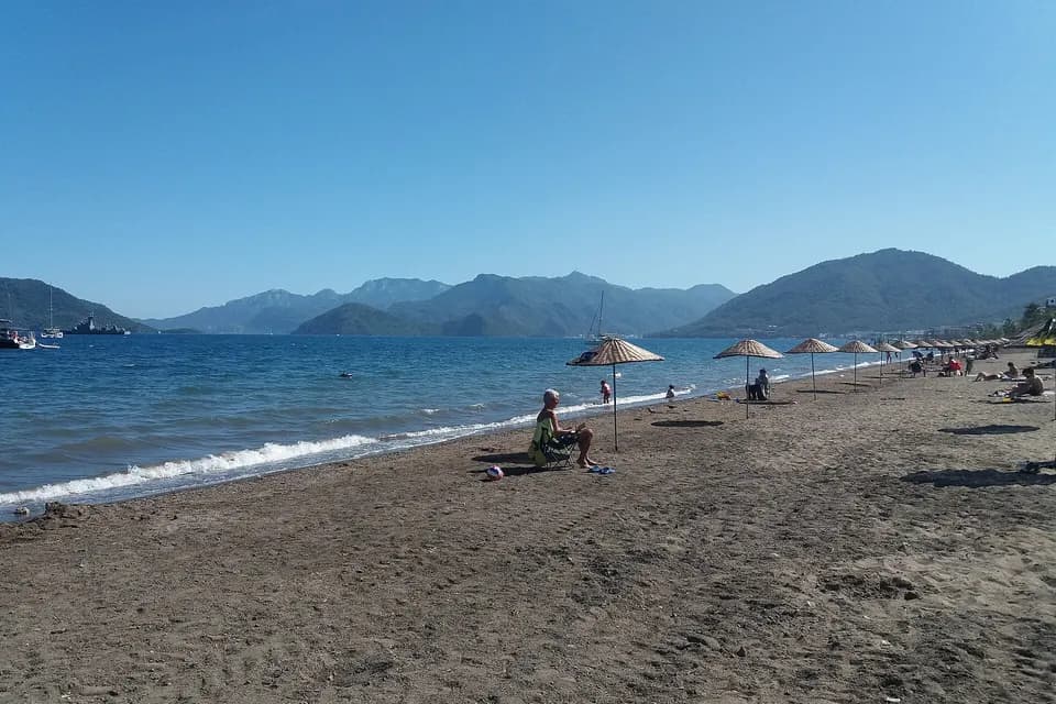
We grouped them by direction: the centre and İçmeler, the southern bays, the Gökova side and the Hisarönü–Bozburun peninsula. Places that are farther away or less well known are covered briefly in the next part. Each card shows distance, drive time, surface and who the place suits at the top, and practical notes on the road, parking, sea and crowds below. We did not write unverified information as if it were certain.
Centre and İçmeler
The two are close but different in character: the central beaches are reached on foot, while İçmeler lies across the bay and is reached by minibus or boat.
ON FOOT / PUBLIC TRANSPORT
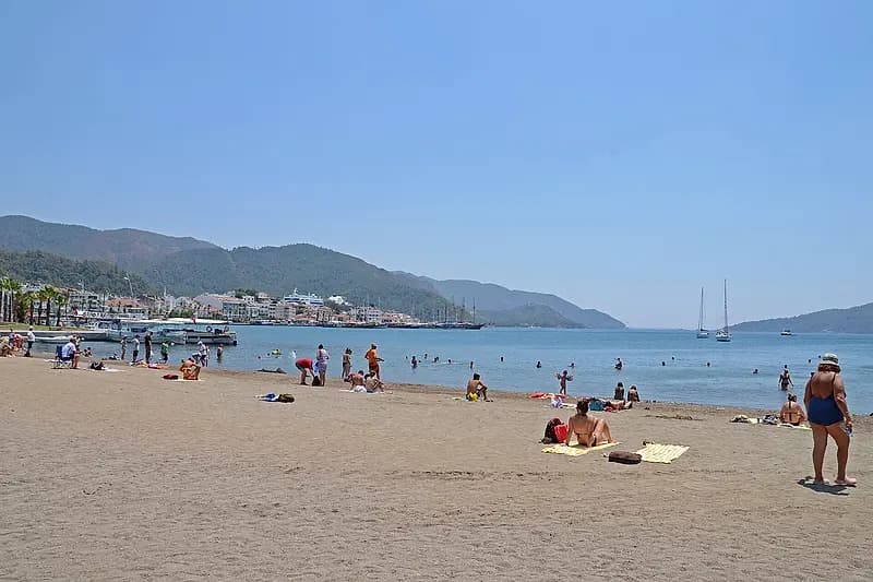
Marmaris Public Beach and Uzunyalı
- From Marmaris
- 3–4 km
- Drive
- 6–12 min
- Best for
- Staying in the centre, a short swim
- Parking
- Ask your accommodation
- Sea
- Blue Flag (TÜRÇEV 2026); deep after 2–3 m
- Facilities
- Cafés, restaurants, sunbed rental; water sports at Uzunyalı
- Crowds
- The district's most visited beach; busy at midday
The walk from the old town to the Public Beach is about 2 km (26–27 min). According to TÜRÇEV records the Marmaris Municipality Public Beach holds a 2026 Blue Flag; the record also lists an accessible WC, a ramp and sunbeds for disabled visitors. Uzunyalı continues the same seafront and Siteler is a hotel beach: do not think of them as separate bays, and ask the hotel about access to hotel beaches. Never leave small children alone at the water. The Uzunyalı seafront suits an evening walk. If you stay in the centre you do not need a car.
BY CAR
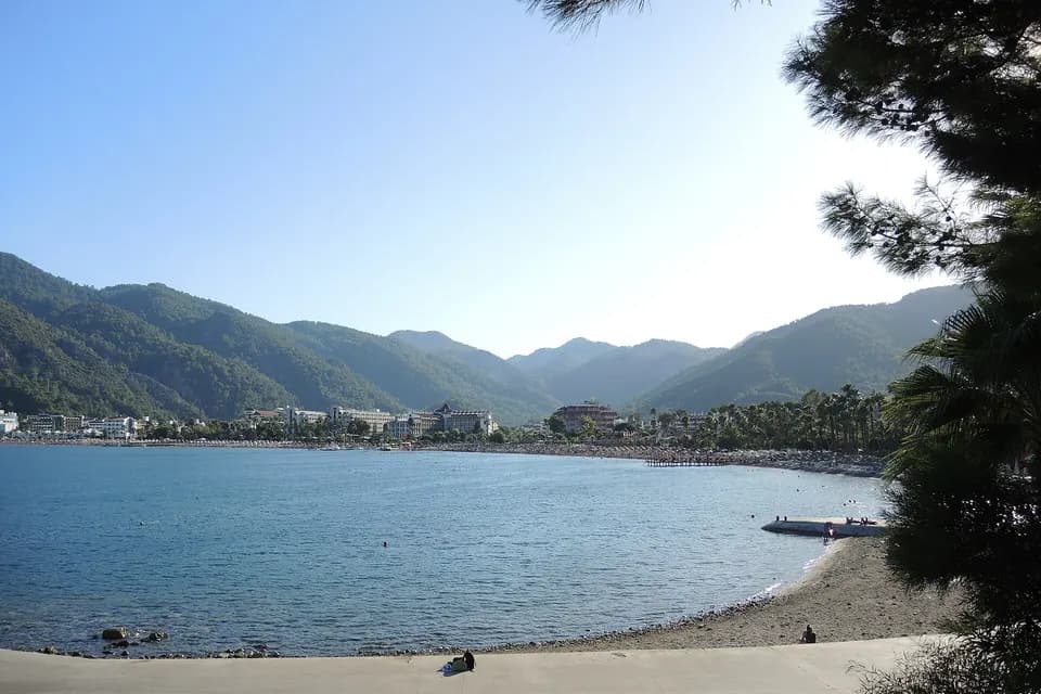
İçmeler Beach
- From Marmaris
- 10 km
- Drive
- 16–25 min
- Surface
- Sandy; small pebbles in places
- Best for
- Those who want a calmer holiday than Marmaris
- Road
- Short, wide road; boats and minibuses
- Sea
- Blue Flag section (TÜRÇEV 2026)
- Facilities
- Sunbeds, umbrellas, shops, restaurants, water sports
- Crowds
- Calmer than Marmaris; many foreign visitors
A long seafront across the bay, lined with hotels, restaurants and water sports. The ground is sandy, with some small-pebble areas depending on the stretch. According to TÜRÇEV records the Marmaris Municipality İçmeler Public Beach (the municipal public beach section) holds a 2026 Blue Flag. Boat and minibus times change with the season; a car is not essential. There is much less noise and traffic than in Marmaris. For accommodation and delivery see our İçmeler page.
Turunç, Amos and Kumlubük
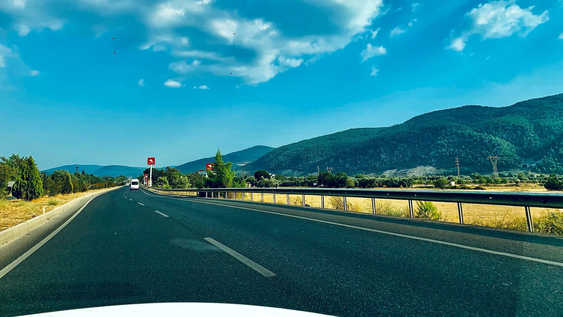
The road to Turunç is mountainous and winding; Amos and Kumlubük lie beyond Turunç and their last stretches are narrow and winding. It is not the same route as the Hisarönü–Orhaniye road. In high season the drive can take longer; leaving early in the morning saves you from both the heat and the traffic.
BY CAR
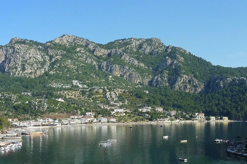
Turunç Beach
- From Marmaris
- 22 km
- Drive
- 34–50 min
- Surface
- Mix of sand and pebbles
- Best for
- Fans of diving and scenic bays
- Road
- Mountainous, winding; slower in high season
- Sea
- Clear, cool; the beach is about 350 m
- Facilities
- Beach with sunbeds and umbrellas
Set in a pine-covered bay. Sources do not fully agree on the surface (sand and pebbles, or fine sand): bring water shoes. It is known for diving and for the underwater caves nearby. Minibuses leave from Marmaris bus station (season April to October). More: our Turunç page.
CAR + WALK
Amos Bay
- From Marmaris
- 26 km
- Drive
- 41–59 min
- Surface
- Pebbles
- Best for
- Snorkellers and fans of ancient sites
- Road
- About 3.8 km (7–10 min) from Turunç
- Sea
- Clear; recommended for snorkelling
- Facilities
- Beach club pier; paid and open areas
- Crowds
- Tour boats by day; go early in the morning
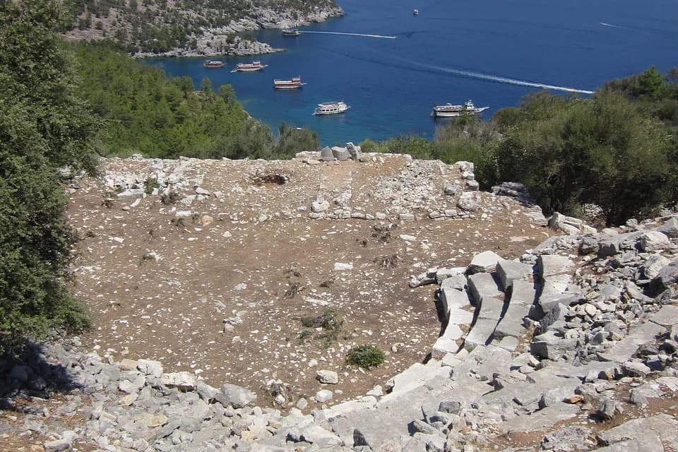
You come by your own car or by boat; there is no public transport. The drive via the Profesörler housing estate is mentioned. A short climb leads to the ancient city; it takes about 1 hour on foot from Turunç and half an hour from Kumlubük. Find out before you go whether the last stretch is paved and passable in an ordinary car; read your rental contract before leaving paved roads. More: our Kumlubük and Amos page and 10 Places to Visit by Car Around Marmaris.
BY CAR
Kumlubük Beach
- From Marmaris
- 28 km
- Drive
- 44–63 min
- Surface
- Golden sand and stony parts
- Best for
- Seekers of quiet bays
- Road
- Road via Turunç; about 5.9 km (10–14 min) from Turunç
- Sea
- Usually deep; not very suitable for children
- Facilities
- Known for its fish restaurants
- Crowds
- Quiet; its popularity grows every year
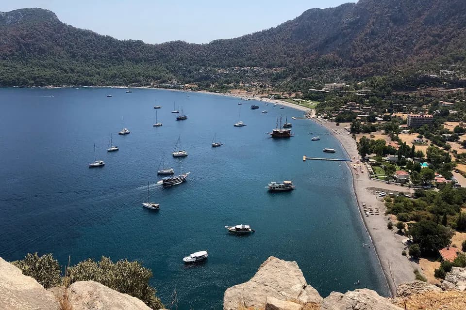
According to the official Culture Portal of the Muğla Provincial Directorate of Culture and Tourism, Kumlubük can be reached by road from Turunç; next to its beautiful beach the area is famous for its fish restaurants. It is 3.7 km (7–10 min) from Amos. Golden sand and stony parts are both mentioned for the surface: bring water shoes. Find out about the current state of the road before you go. Loggerhead turtles (caretta caretta) can be seen; follow local rules.
Towards Gökova: İncekum, Sedir Island and Akyaka
This direction runs from Marmaris towards Muğla. İncekum is on the mainland and Sedir Island is on an island; they are neighbours but not the same place. Akyaka is at the end of this direction, much closer than the far bays towards Datça.You do not need to plan İncekum and Sedir Island for the same day; most travellers choose one.
CAR + SHUTTLE
Çamlı İncekum Beach
- From Marmaris
- 25–26 km
- Drive
- 38–49 min
- Surface
- Fine golden sand
- Best for
- Families with children (shallow sea)
- Road
- About 5 km of paved road after Çamlı
- Parking
- Car park; trailer (çekçek) to the beach
- Sea
- Shallow, clear; pine shade, showers, toilets
- Crowds
- Tour boats call in the afternoon; can be noisy
Private cars do not enter the beach; ask on the spot about trailer times and the fee. Sources give the distance as anything from 20 to 27 km; our measurements are 25–26 km. It is opposite Sedir Island but is not the same place. It can be busy on summer days; families often choose it for the shallow sea.
CAR + BOAT
Sedir Island and Cleopatra Beach
- Surface
- Special sand of limestone droplets
- Best for
- Boat-trip fans who follow the sand rules
- Road
- No road; car to the pier, then boat to the island
- Families
- Reportedly not deeper in the first 5–6 m; sand rules apply
- Facilities
- Older reports: sunbeds, umbrellas, WC, showers
- Time
- Depends on the return boat
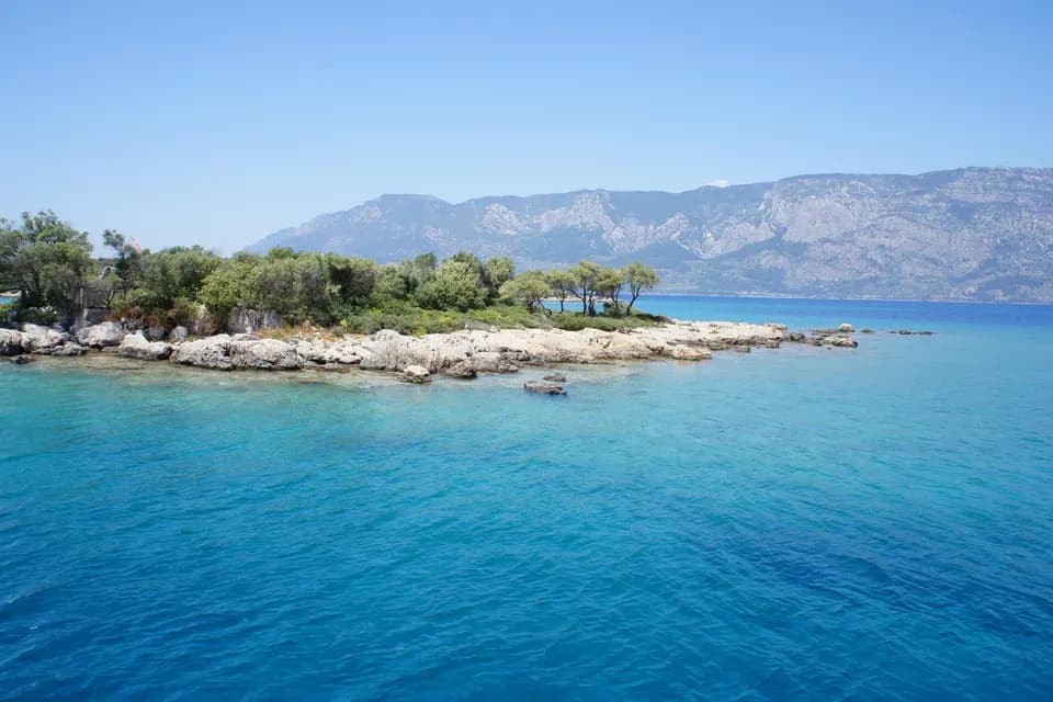
You cross by boat from Çamlı village or from Akyaka. There is an entrance fee; ask at the ticket office about the amount, the times and whether the Museum Pass covers it. Boat times are given as anything from 20 minutes to half an hour; we could not verify the pier's position, so the target on the map should be the pier, not the island. The sand is protected; learn the rules on shoes, towels and showers at the island entrance. The island has the walls, temple, theatre and agora remains of the ancient city of Kedrai; Cleopatra Beach is on this island.
BY CAR
Akyaka Beach
- From Marmaris
- 32 km
- Drive
- 33–36 min
- Surface
- Public beach; sandy
- Best for
- Wind sports fans
- Road
- Winding descent from about 670 m at Sakar Pass
- Parking
- Car traffic in town is limited
- Sea
- Shallow bays; thermal wind in the afternoon
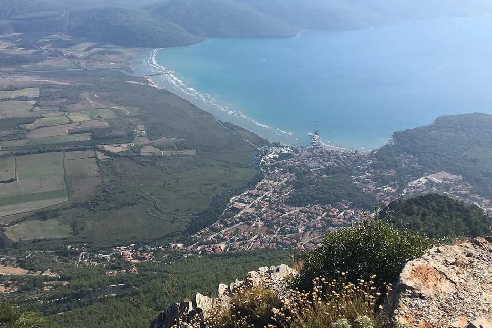
Akyaka Public Beach is at the head of the Gulf of Gökova, much nearer than the far bays towards Datça. Those who dislike wind should choose the morning. The Kadın Azmağı trip is a separate experience from the beach; the Azmak is also known for ancient Idyma and for the town's Cittaslow (slow town) identity. More: our Akyaka page.
Hisarönü–Bozburun Peninsula
You join the Datça road: Hisarönü and Orhaniye are on the same highway, while Çiftlik Bay is reached by a separate road. Selimiye and Söğüt are inside the peninsula and the road is long and winding.Plan Çiftlik Bay separately: it looks easy on the map but is not a short extension of this line.
BY CAR
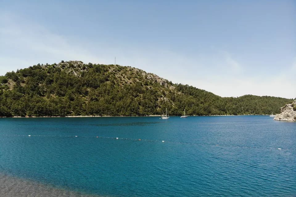
Kızkumu Beach
- From Marmaris
- 28 km
- Drive
- 29–36 min
- Surface
- Sand strip, pebbles in places
- Best for
- A short swim and photo stop
- Sea
- Shallow strip, deep on both sides
- Crowds
- Can be busy in summer; go early
- Time
- About 1–2 hours
At Orhaniye, a shallow sand strip running through the middle of the sea: a natural path about 3 metres wide (500–600 m is given for its length); there are pebbles in places, so water shoes are recommended. Watch children closely. The story of the princess and the fisherman is a legend, not history; the statue on the beach was commissioned inspired by the legend. Orhaniye is 1.9 km further on: marina and calm water. More: our Orhaniye and Kızkumu page, and for the waterfall our Turgut page.
BY CAR
Çiftlik Bay
- From Marmaris
- 35 km*
- Drive
- 60 min*
- Surface
- Sand
- Best for
- Seekers of a quiet beach; busy at weekends
- Road
- Bozburun road to Bayır, then down to the bay; winding
- Sea
- Turquoise, clear; calm except in south and south-east winds
- Facilities
- A few restaurants, a water sports centre
- Crowds
- Busy at weekends; season May to November
A bay surrounded by pines and high hills, with Çiftlik Island in front. It is reached by road via Bayır village: you turn off the Bozburun road towards Bayır and descend a winding road; it is not a continuation of the Hisarönü–Orhaniye line. It looks easy on the map, so check the route before you set out. It can be dangerous on stormy winter days. Bayır page.
BY CAR
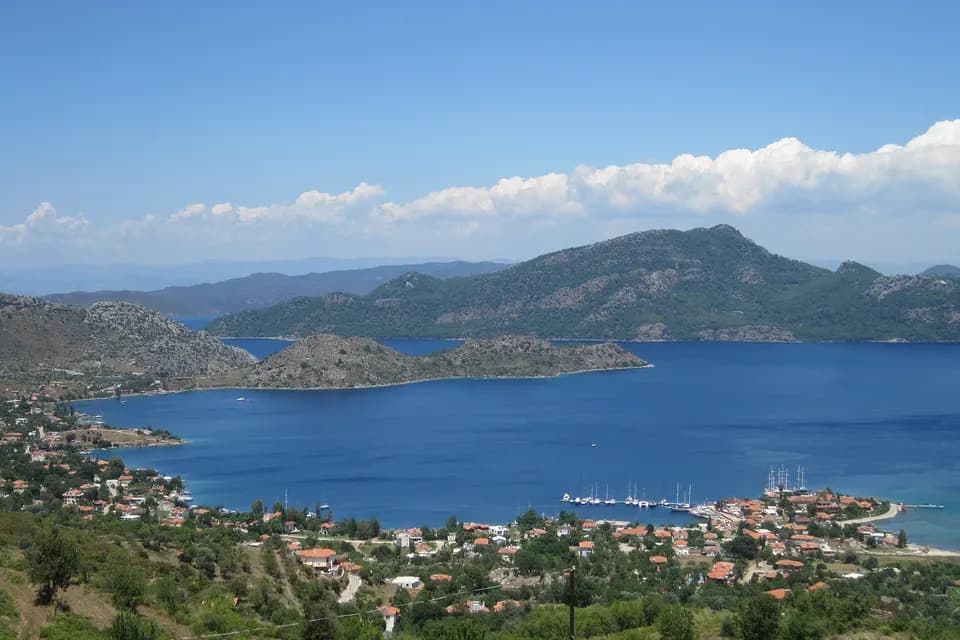
Selimiye
- From Marmaris
- 45 km
- Drive
- 45–63 min
- Surface
- Short stretch of shore
- Best for
- A quiet fishing village and peninsula trip
- Road
- Long, winding road
- Sea
- Small coves and pier fronts; ask locally which parts are public
- Crowds
- Quiet; busier in summer
Do not expect a long beach: the shore is short. Sığ Liman (Akkum Bay) is about 2.5 km from the village entrance; a walk of 5–6 minutes through the forest leads to Cennet Bay. This Cennet Bay should not be confused with Cennet Island at Yalancıboğaz, and this Akkum (Akbük) is not the Akbük in Gökova. Selimiye also has the remains of ancient Hydas and boat tours. Selimiye page.
BY CAR
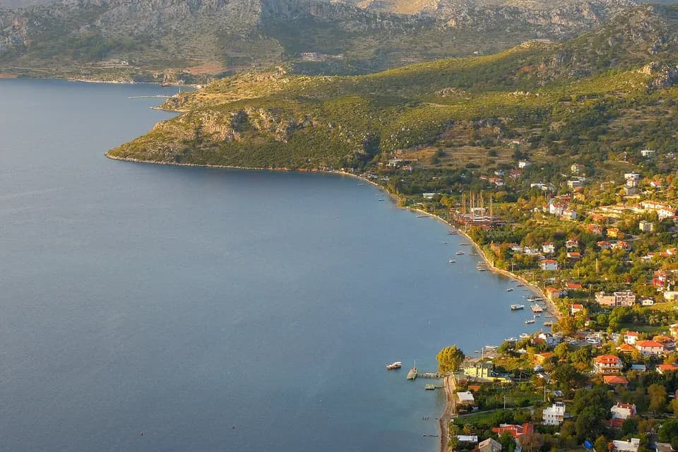
Söğüt
- From Marmaris
- 57 km
- Drive
- 54–84 min
- Surface
- Stony shore; pebbles at the entrance, then sand
- Best for
- A quiet village, sunsets, boat tours
- Sea
- Clear; generally rough
- Facilities
- Fish restaurants, café, shop, pier
- Crowds
- Calmer than Selimiye; boat tours call in
The shore is stony; pebbles at the entrance and sand a few steps further are also reported: bring water shoes. Only wall fragments and foundations remain of the ancient city of Thyssanos south-west of the village. Söğüt page.
Explore the Bays of Marmaris on Your Own Schedule
With a rental car you can visit İçmeler, Turunç, Amos and the other beautiful bays around them on your own schedule.
Should You Go by Car or by Boat?
Not every bay is reached in the same way. The two options do different jobs, and which one suits you depends on your holiday plan. With a car you stay independent, but not every bay can be reached by land; a boat trip is the practical way to see bays with no road, but departure points and times depend on the operator.
- By car: most places on the cards; at Amos the last stretch is on foot, and at İncekum you need the shuttle. Ask about the road to Baklabükü beforehand.
- Car + boat: Sedir Island; you drive to Çamlı and cross to the island by boat.
- Boat only: Abdi Reis (Aquarium) Bay and Gebekse Bay; the Phosphorus Cave is mentioned on boat tours. Despite its name, Cennet Island is reached by road and on foot from Yalancıboğaz.
| By car | Boat trip |
|---|---|
| You set your own schedule | You follow the departure point and tour programme |
| You visit bays reached by land | You reach bays with no road |
| You stop wherever you like | You make swimming stops at sea |
| You can combine several land beaches | You see the coast from a different angle |
Departure points and times of boat tours vary by operator; check before you book. Traffix does not sell, organise or guarantee boat tours.
More Bays to Discover
BY CAR
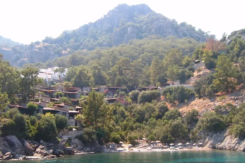
Hisarönü Shore
22 km · 23–28 min
A golden beach of about 300 metres; the sea is usually shallow, rough in wind, and loved for sunsets. Coves such as Dirsekbükü, İnbükü, Bencik, Sığliman and Hurmalıbük are also mentioned around the bay; do not confuse it with the Hisarönü near Fethiye. Bencik Bay is sheltered from the wind and is said to be closed to cars; there are two different descriptions of Bördübet, so we give no directions. Hisarönü page.
BY CAR
Bozburun
53 km · 52–75 min
You come for the harbour and the gulet yards, not for a beach; it is the last big stop on the road to the south of the peninsula. Ask locally about swimming. Bozburun page.
BY CAR
Datça Beaches
73–92 km · 61–108 min
Kumluk and Taşlık are in Datça town, and Palamutbükü is inside the peninsula; they are two separate points on the map. The road is winding and in summer slow vehicles can lengthen the drive; a day trip is possible, but allow for the total time. Palamutbükü is about 190 km there and back, about 3–3.5 hours of driving alone. More: our guide From Marmaris to Datça.
ACCESS LIMITED / CHECK FIRST
Baklabükü
31 km · 76–85 min
The time on the map suggests a slow road that is probably unpaved; we could not verify the road or the beach. One guide says there is no car access. Do not assume you can drive there in an ordinary car; ask a local person and check the road conditions in your rental contract.
ACCESS LIMITED / CHECK FIRST
Günnücek
A protected area next to the centre; sources call it a national park or a nature park. Because we could not verify swimming access or the rules, we did not list it as an ordinary public beach; ask the municipality or the gatekeeper before you go. Our cruise port guide.
CAR + WALK
Cennet Island (Yalancıboğaz)
9 km · 16–24 min
A pine-covered peninsula; you go to the strait by car or minibus and walk to the island and the Nimara Cave. The map buttons show the island and the cave separately. Yalancıboğaz page.
BOAT TRIP
Abdi Reis (Aquarium) Bay
There is no land access; boats leave from the shore, and the clear water suits diving and swimming, with a rocky sea floor. The Aquarium Bay at Datça is a different place.
BOAT TRIP
Phosphorus Cave
Mentioned on boat tours; small boats are said to be able to enter. We found no information on land access and do not present it as an ordinary beach.
BOAT TRIP
Gebekse Bay
Right next to Çiftlik Bay; you go by boat. We found no information on land access.
Ready-Made Day Routes
All four routes start in the centre of Marmaris and return there; distances and times are approximate and rounded, and exclude stops. Two or three stops in the same direction make a sensible day.
Easy, Nearby Beaches
Marmaris → İçmeler → Marmaris
- Distance
- About 20 km
- Driving
- About 0.5–1 hour
- Trip length
- Half a day
Best for: Families, those who want a short trip
Swim on the İçmeler seafront and have lunch there; it is a short, wide road and can also be done by minibus. Traffic can build up on summer evenings. On the way back there is time for dinner in Marmaris; minibus and boat times change with the season.
Turunç, Amos and Kumlubük
Marmaris → İçmeler → Turunç → Amos → Kumlubük → Marmaris
- Distance
- About 60 km
- Driving
- About 1.5–2.5 hours
- Trip length
- Full day
Best for: Those who want to explore bays by car
Leave early in the morning. Swim at Turunç, see how clear the water is at Amos, and have lunch at one of the fish restaurants at Kumlubük; the last parts are narrow and winding, so do not take unpaved roads. Because tour boats make Amos crowded by day, keep the order Turunç, Amos, Kumlubük and reach Amos early.
Hisarönü, Kızkumu and Selimiye
Marmaris → Hisarönü → Kızkumu → Selimiye → Marmaris
- Distance
- About 95 km
- Driving
- About 1.5–2.5 hours
- Trip length
- Full day
Best for: Those who want a scenic drive and a quiet shore
Be early at Kızkumu (it can be crowded on summer days), try the Sığ Liman and Cennet Bay path at Selimiye, and have lunch on the shore at Orhaniye or Selimiye. The road is winding, so do not rush on a first trip. After Selimiye the return road is long, so set out before dark.
Çamlı, İncekum and Sedir Island
Marmaris → Çamlı → İncekum / Sedir Island (boat) → Marmaris
- Distance
- About 50 km
- Driving
- About 1.5 hours (driving only)
- Trip length
- Full day
Best for: Those who want to spend the whole day at the beach or on the island
You cannot drive to Sedir Island: you need a boat from Çamlı village or from Akyaka, and the car is used only as far as the pier. At İncekum you need the trailer from the car park, and on the island the entrance and the sand rules also need preparing. Because trailer and boat times can change, we do not suggest fitting both into one day: choose one as your main stop. The map button leads to İncekum; ask in Çamlı where the Sedir pier is.
We have a separate guide for Datça: From Marmaris to Datça. Akyaka is a short one-day alternative: about 65 km there and back, about 1–1.5 hours of driving.
Short Practical Tips
Sources and How Current This Is
We measured the distances on 19 October 2026 with two routing services (OpenStreetMap OSRM and Valhalla); the values are approximate and change on a real trip with traffic, road conditions and stops. For road access to Kumlubük we relied on the official Culture Portal of the Muğla Provincial Directorate of Culture and Tourism, and for the Blue Flag on TÜRÇEV records; we compared the other information with publications by Go Türkiye, Wikipedia, KÜRE Encyclopedia, NTV, CNN Türk, Milliyet, Hürriyet, Enuygun, Coast Guide TR, Fethiye Times, Marmaris Info and Turkey Travel Planner. Where the sources say different things (the surface at Kumlubük, the distance to İncekum, the position of Cennet Bay) we said so.
We did not write entrance, boat, parking and sunbed fees, or timetables and opening hours, because we could not verify them from an official source. We wrote the Blue Flag only for the Marmaris Municipality Public Beach and İçmeler Public Beach, which appear in the TÜRÇEV records for 2026, and attributed it to no other beach. We found no reliable source for Kadırga Bay, Baca Cave, Çınar Beach, Akbük and Boncuk Bay in Gökova, or Kargı Bay. Before you go, ask the municipality, the operator or the boat captain for the current situation.
Distances and times are approximate and vary with traffic and season.
Share this guide
Frequently asked questions
Which is the most beautiful beach in Marmaris?
There is no single best beach: the Public Beach in the centre is reached on foot, İncekum stands out for its shallow sea, Amos for its clear water and Kızkumu for its sand strip. You can find the one that suits you in the picker above. For a quiet day think of bays such as Kumlubük, Selimiye or Söğüt, and for a boat trip Sedir Island; but getting there takes longer and needs more preparation.
Which beaches suit families with children?
İncekum is often mentioned for its shallow sea; Hisarönü is usually shallow too but gets rough in wind. At Kızkumu both sides are deep, and so is the sea at Kumlubük. Watch children closely everywhere. For families, shade and toilets matter as much as shallow water: pine shade, showers and toilets are mentioned at İncekum.
Can you swim in the centre of Marmaris?
Yes: the Public Beach, Uzunyalı and Siteler are on the same long seafront. The walk from the old town to the Public Beach is about 2 km (26–27 minutes), and 3 km by car (6–10 minutes). The sea gets deep quickly after 2–3 metres. The beaches are open to the public; sunbeds and umbrellas are usually rented from private businesses, and you can also bring your own umbrella.
How far is İçmeler Beach from Marmaris?
About 10 km by road, 16–25 minutes. Boat services and minibuses also cross the bay between Marmaris and İçmeler; their times change with the season. İçmeler has sunbeds, umbrellas, shops and water sports; it is calmer than Marmaris but has many foreign visitors.
Can you drive to Amos Bay?
From Turunç it is about 3.8 km (7–10 minutes) by car; there is no public transport. Find out about the last stretch before you go and do not take unpaved roads. On foot from Turunç it takes about 1 hour. Tour boats crowd the beach by day; going early in the morning is more comfortable.
Can you reach Turunç and Kumlubük by car?
Yes, both can be reached by road. Turunç is about 22 km, 34–50 minutes, on a mountainous, winding road; Kumlubük is reached via Turunç, and maps show 10–14 minutes from Turunç. On the last stretches summer traffic and bends lengthen the drive.
How do you get to Sedir Island, and can you drive there?
You cannot drive onto the island: you cross by boat from the pier at Çamlı village or from Akyaka, and the car is used only as far as the pier. We could not verify the pier's position or the current departures. Cleopatra Beach is on this island and is not the same place as İncekum. The island's entrance is paid and the sand is protected: learn the rules on shoes, towels and showers at the island entrance; sources give boat times from 20 minutes to half an hour.
How do you get to Çamlı İncekum Beach?
About 25–26 km from Marmaris (38–49 minutes). After Çamlı a paved road of about 5 km leads to the car park and you cross to the beach by trailer; private cars do not enter. Ask on the spot about trailer times and the fee. Because tour boats from Akyaka call in the afternoon, the beach can be noisy then; sources give the distance as anything from 20 to 27 km.
Which beaches can you reach in Marmaris without a car?
The Public Beach and Uzunyalı on foot; İçmeler by minibus and boat service; Turunç by minibus. For the farther bays you need a car or a boat. For the bays outside the centre there are also boat tours from Marmaris; departure points and times vary by operator.
Is renting a car worth it for visiting the bays of Marmaris?
You do not need one for the beaches in the centre; beyond Turunç, on the Hisarönü–Selimiye line and towards Datça, a car gives you flexibility. The standard daily limit is 300 km (it is not unlimited), and all our routes stay below it. For details see the rental terms. Sedir Island cannot be reached by car and needs a boat: you drive to Çamlı and cross from the pier.